Applications
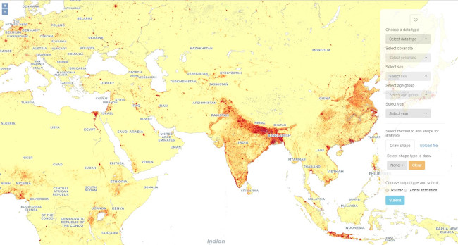
The WorldPop SDI is a group specialising in the development of GIS applications that require visualization of spatial data in vector and raster form, analysis of their topology and their relationship with semantic databases. The WorldPop SDI has developed, and is in the process of designing online and desktop GIS applications that facilitate the access and analysis of WorldPop data sets. WorldPop SDI architecture allows WorldPop researchers to collect and store all the necessary data with the ability to upload it to a database at any time, carry out spatial and GIS analysis, process, save and display the results for a future publication.
The SDI is working with WorldPop researchers to support an online web-mapping tool that allows users to generate population estimates and demographic group structures based on input variables.
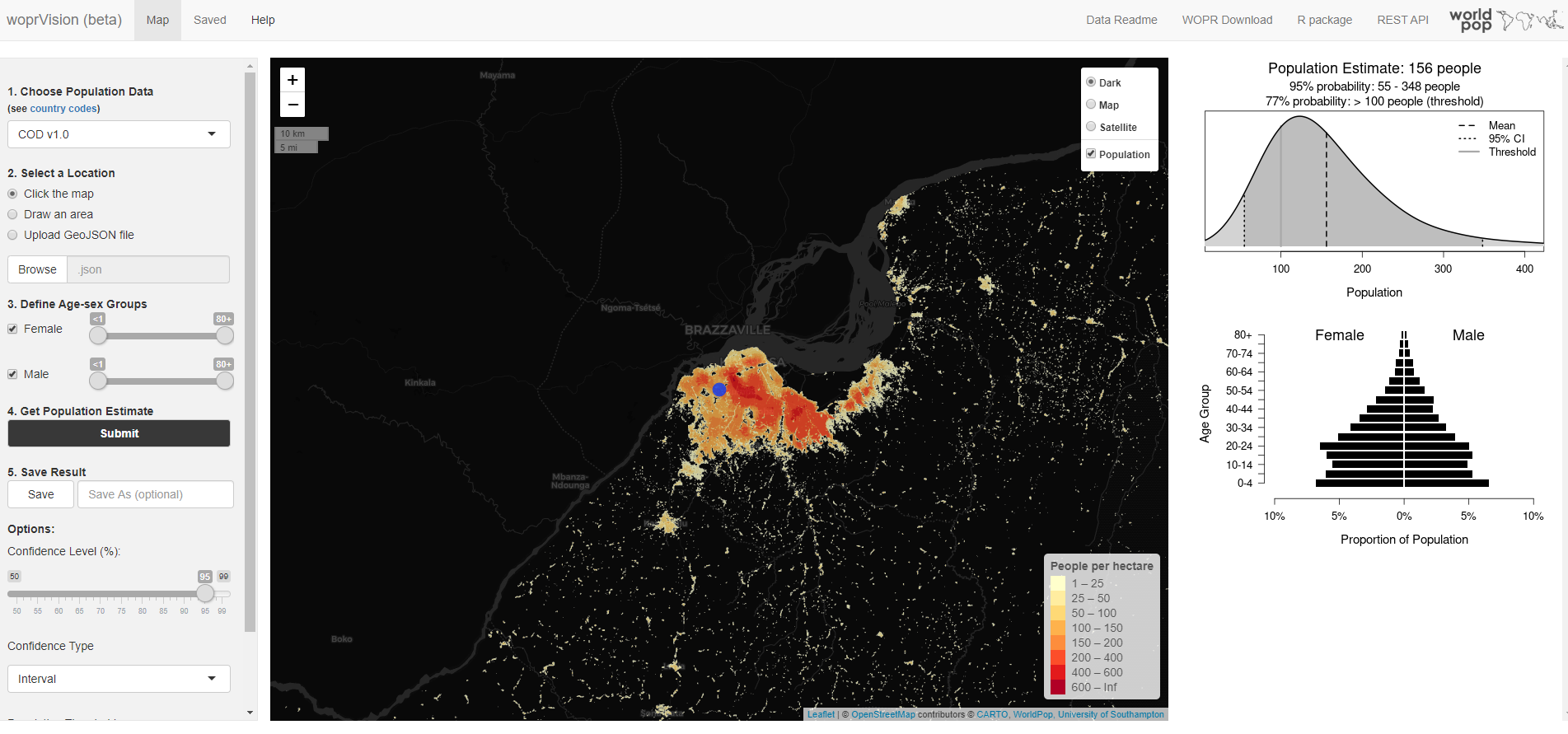
woprVision
An interactive web map that allows you to explore population estimates along with measures of uncertainty for specific locations and demographic groups using bespoke population models from the WorldPop Open Population Repository (WOPR)*.
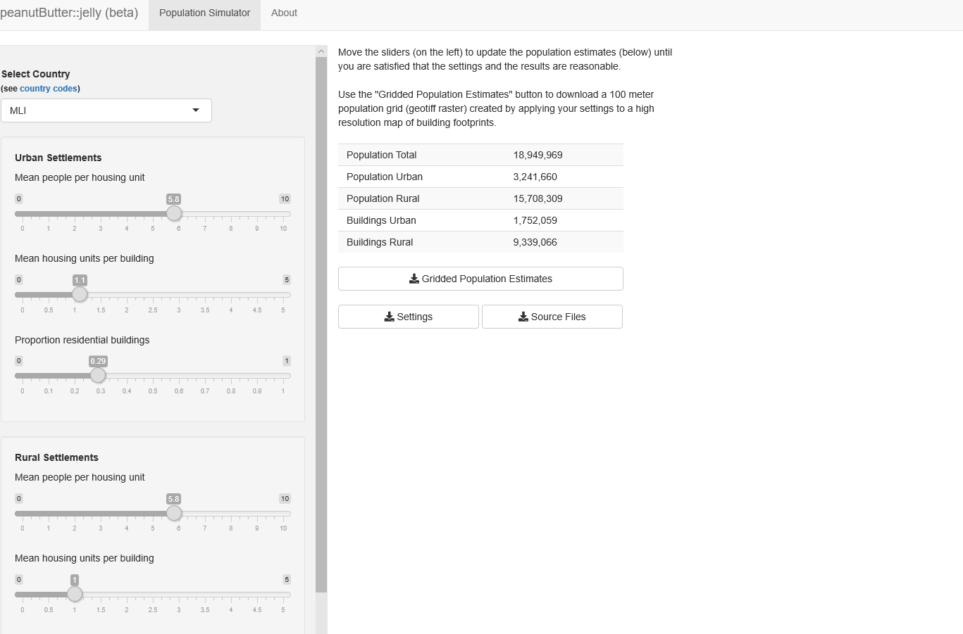
peanutButter
Produce your own gridded population estimates from building maps using the "peanut butter" method: Spread your estimates of average household size evenly across buildings in each settlement type using high resolution maps of building footprints from recent satellite imagery.
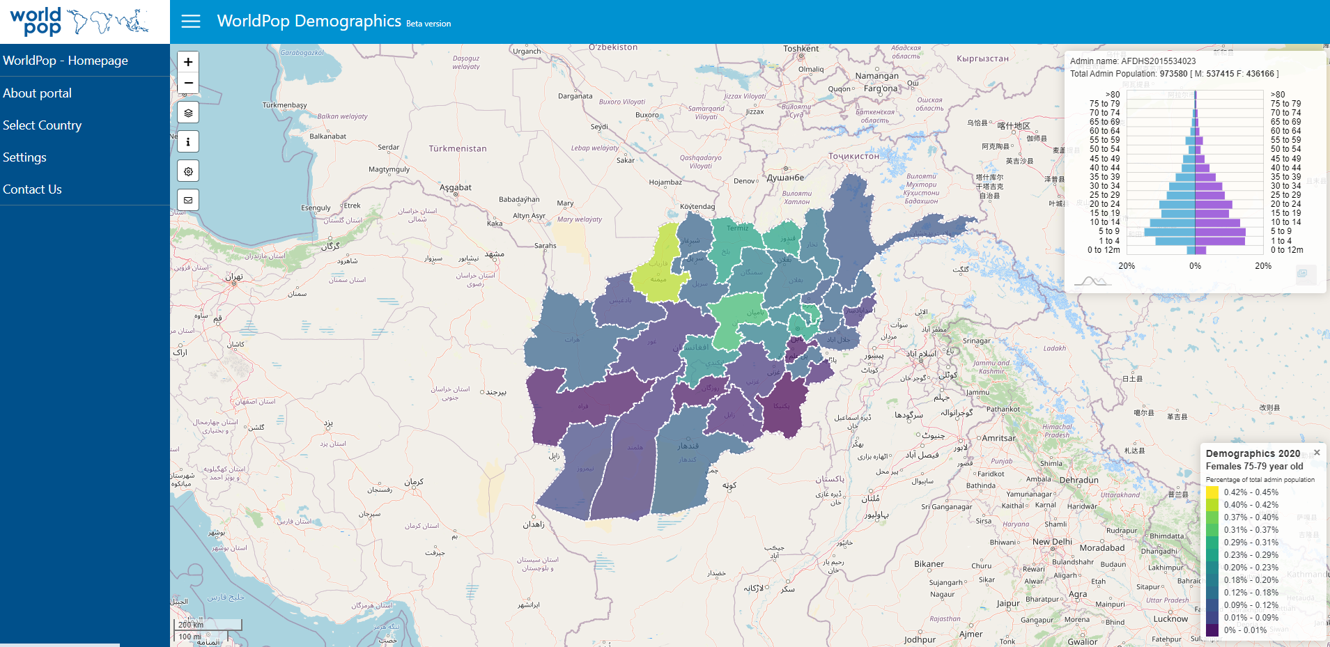
Demographics
Data on subnational population age-sex structures has been obtained through employing a number of sources to ensure the finest sub-national detail and representativeness for all areas included.